


Copyright © Charles H. Murphree 1999-2014 All rights reserved


These early maps illustrate Daniel Murphree's migration route after he arrived in the colony of North Carolina in 1743 or earlier (possibly from Virginia.)
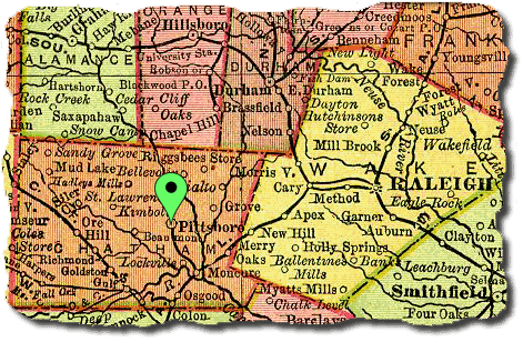
The original will of Daniel Murphree was discovered in a packet of unrecorded wills at a courthouse in the small town of Pittsboro, Chatham County, North Carolina (Shown on the above 1895 map of North Carolina.) Compare the pin in this map with the pin in the bottom map, Daniel's homeplace when he died.
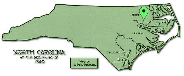
Daniel Murphree was in Bertie County by 15 November 1743 when his land was mentioned in a Luke Saller grant of 250 acres on the western side of Waloon Swamp adjoining Daniel Murphy, the river swamp, and Theophilus Pugh.
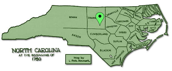
Daniel probably moved westward to Orange County about 1760/1761. He was not on the 1755 poll tax list but he was there in 1762. Orange County was formed in 1752 from parts of Bladen, Granville and Johnston Counties.
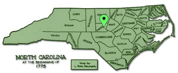
This map of 1775 (4 years after Daniel Murphree's death in 1771) illustrates that Daniel probably didn't move from Orange to Chatham County but, most likely, when Chatham County was formed in 1770 from parts of Orange County, his plantation fell within the boundaries of the new county.
Nice map, ca. 1779, of early North Carolina showing the various creeks and rivers. After you click on the link, click on the map to enlarge it.